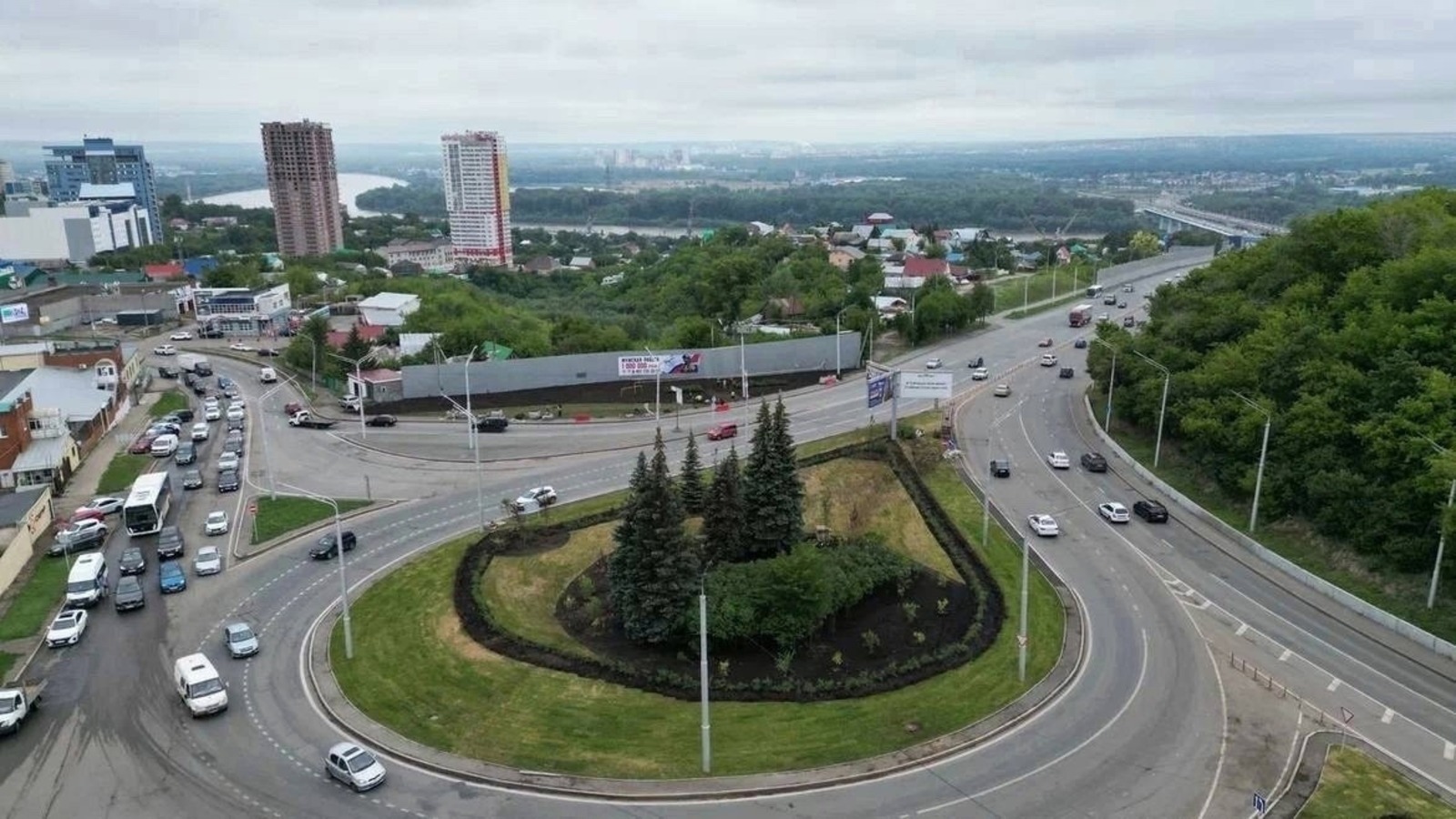
In Ufa, planning project will be developed for neighborhood above Zaton interchange
Ufa Mayor Ratmir Mavliev instructed the chief architect's office to develop a planning and land surveying project for 16 hectares of land in the Oktyabrsky district of the capital.

According to the document on the city administration's website, the planning and surveying project is to be carried out on the territory between Bolshaya Grazhdanskaya Street, Novosibirskaya Street, and projected streets in the Oktyabrsky district. The plot, with an approximate area of 16.53 hectares, is located above the Zaton ring interchange at the intersection of Goroda Halle Street and Zatonskoye Highway, near the bridge over the Belaya River.
The chief architect's office has been instructed to carry out procurement and select a contractor to develop the documentation, which must be approved by December 15, 2025. The territory has the potential for comprehensive redevelopment with the possibility of placing multi-apartment residential buildings, according to the decree.
