
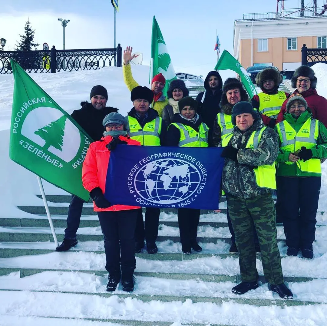
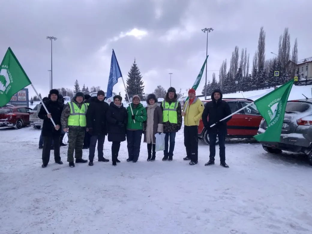
Russian Geographical Society expedition went to Ishimbay district to determine Geopark Toratau boundaries


www.bashinform.ru


© 1992-2026 Bashinform News Agency JSC. Mass Media Registration Certificate No. TU 02-01609 dated September 25, 2017, issued by the Office of the Federal Service for Supervision of Communications, Information Technology and Mass Media for the Republic of Bashkortostan.
All information and content posted on the website www.bashinform.ru are protected by international and Russian copyright and related rights legislation. All reports by the Bashinform News Agency are intended for users over 18 years of age.
When reprinting or quoting, a reference to Bashinform News Agency is mandatory. For online publications and social media, a direct active hyperlink is required. Using the Bashinform News Agency logo for purposes not related to the agency when reprinting or quoting is permitted only with the written permission of JSC Bashinform News Agency.